Riyadh Parking Project
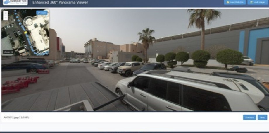
Project involves conducting a detailed topographic survey using mobile mapping systems MMS, to obtain a complete 3D representation of the existing conditions of roads with total lengths more than 150 km, as well as capturing 360 full panoramic images along the entire route. The acquired data will be utilized for design of public parking areas and for generating comprehensive CAD files that include all existing site details.