08
Service 08
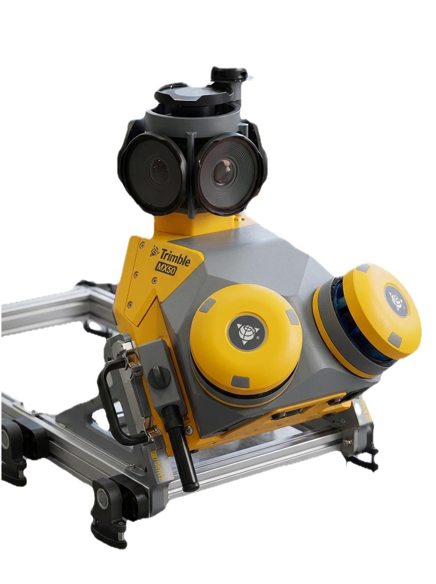
Topographic and digital mapping synthesize UAV, LiDAR, GNSS, and photogrammetry into contours, DTMs/DSMs, and feature-rich map sheets. Outputs feed engineers, environmental teams, and planners who require defensible vertical accuracy.
We classify ground surfaces, breaklines, and hydrology cues to produce mapping that survives technical review on linear and areal projects alike.

Styling, annotation, and atlas layouts ensure stakeholders see the story in the data — from land use to drainage and corridor assets.