10
Service 10
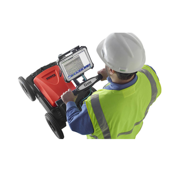
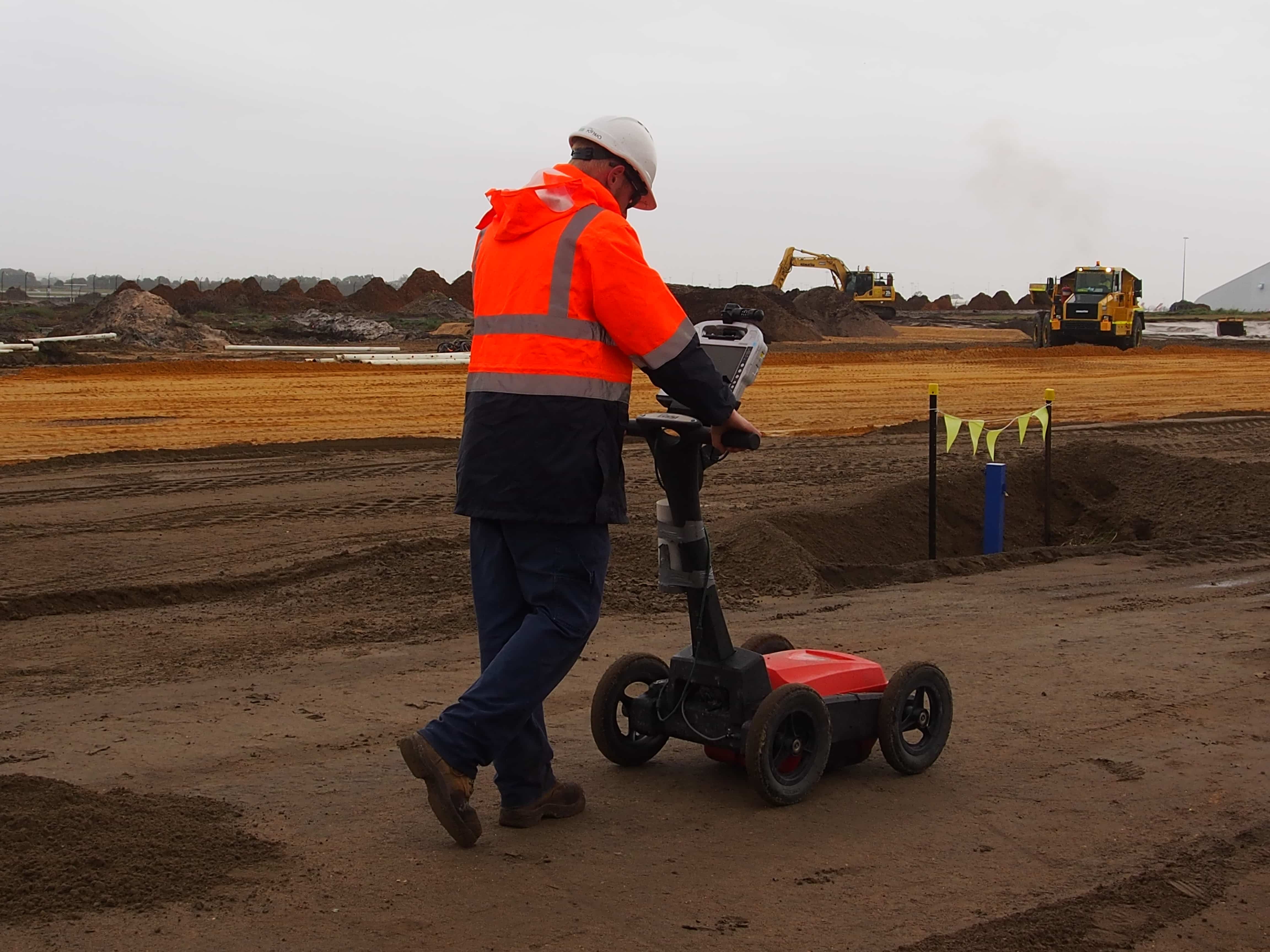
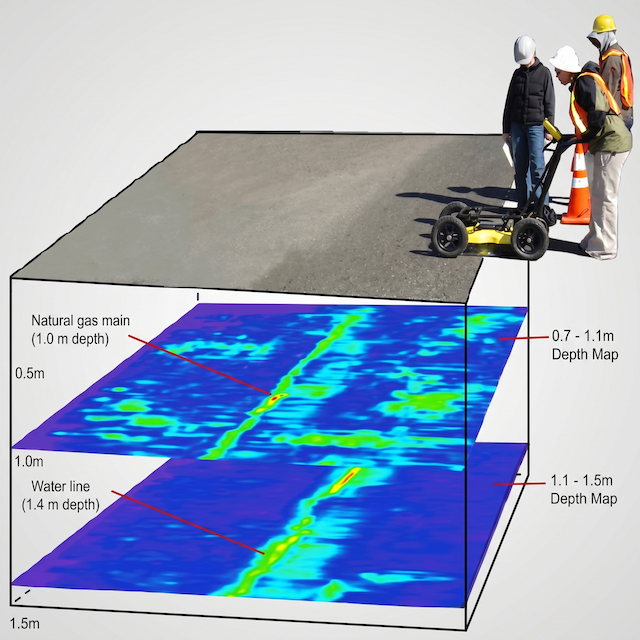
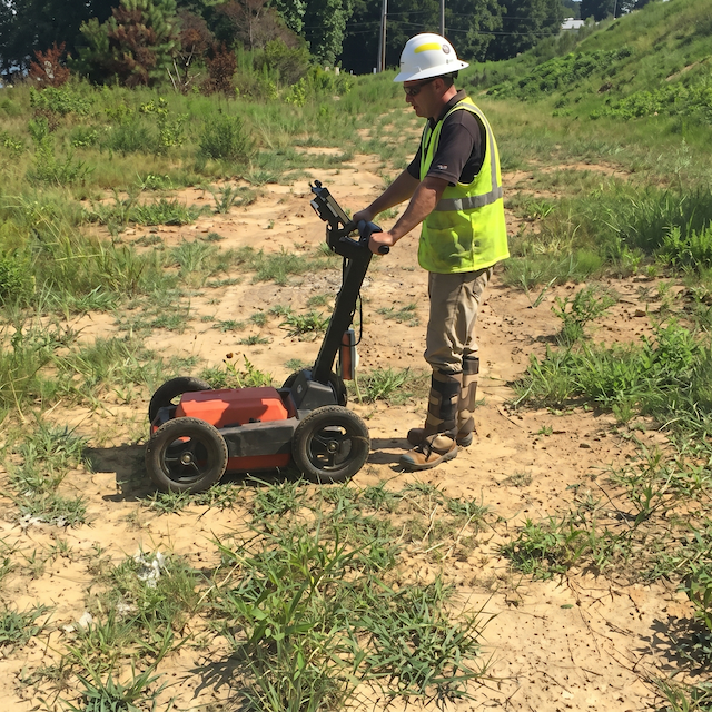
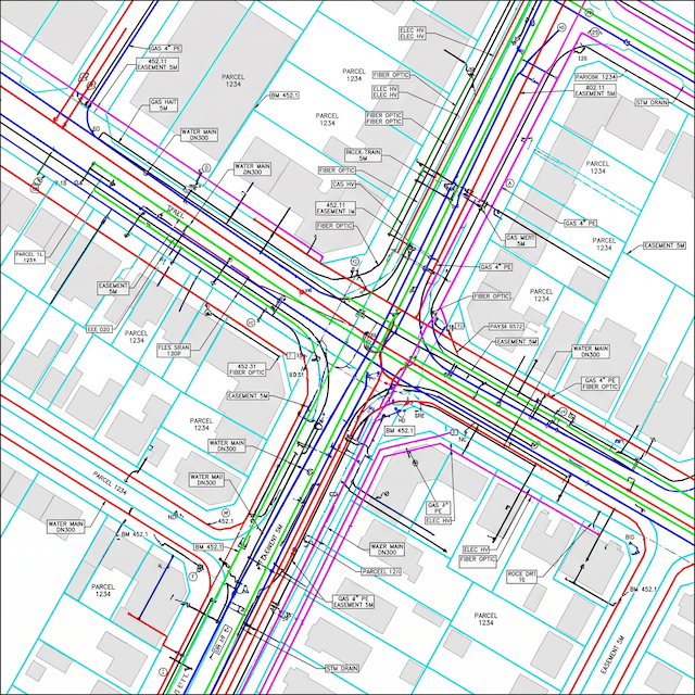
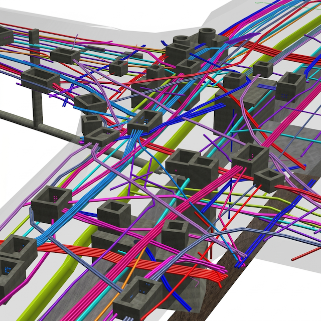
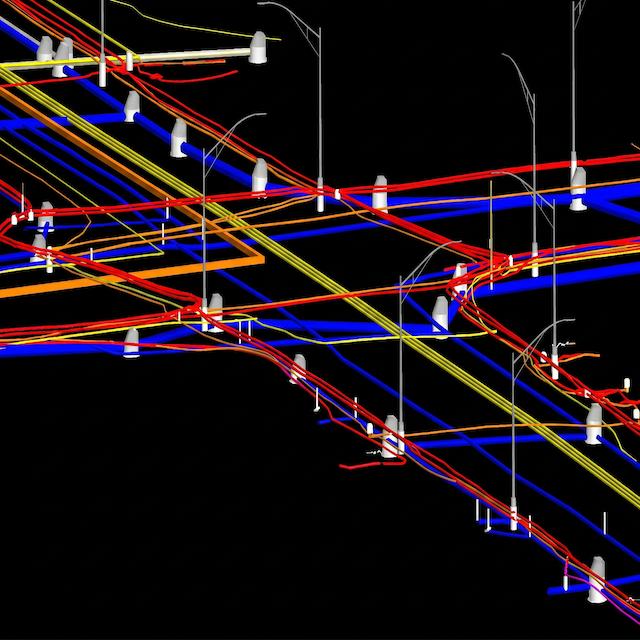
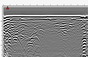
Using GPR, we detect and map underground utilities like pipelines, cables, and voids without excavation. This ensures safety and accuracy in construction and planning.
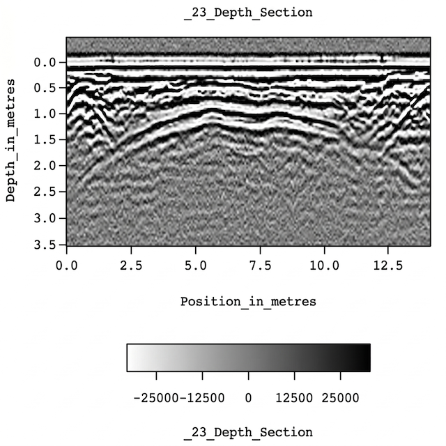
Ground Penetrating Radar (GPR) is a non-destructive technology that allows detailed investigation of below-surface environments. GPR equipment transmits signals into the ground, detecting underground features by receiving reflections. This technology is essential for locating utilities, identifying voids or cavities, assessing structural conditions, and guiding excavation work. GPR surveys provide crucial information on the locations of subsurface features and the construction of structures, preventing costly surprises during excavation and ensuring on-site safety. With a clear picture of what lies beneath, you can make informed decisions and avoid project delays.