DT
Our Work

Projects & Case Studies

Our portfolio of geospatial and surveying projects spans infrastructure, urban development, and environmental monitoring across the Kingdom of Saudi Arabia. Case studies coming soon.

5Projects
3Categories
KSARegion
Featured work

Selected projects

Makkah Tunnel Project
2026
LiDAR Scanning

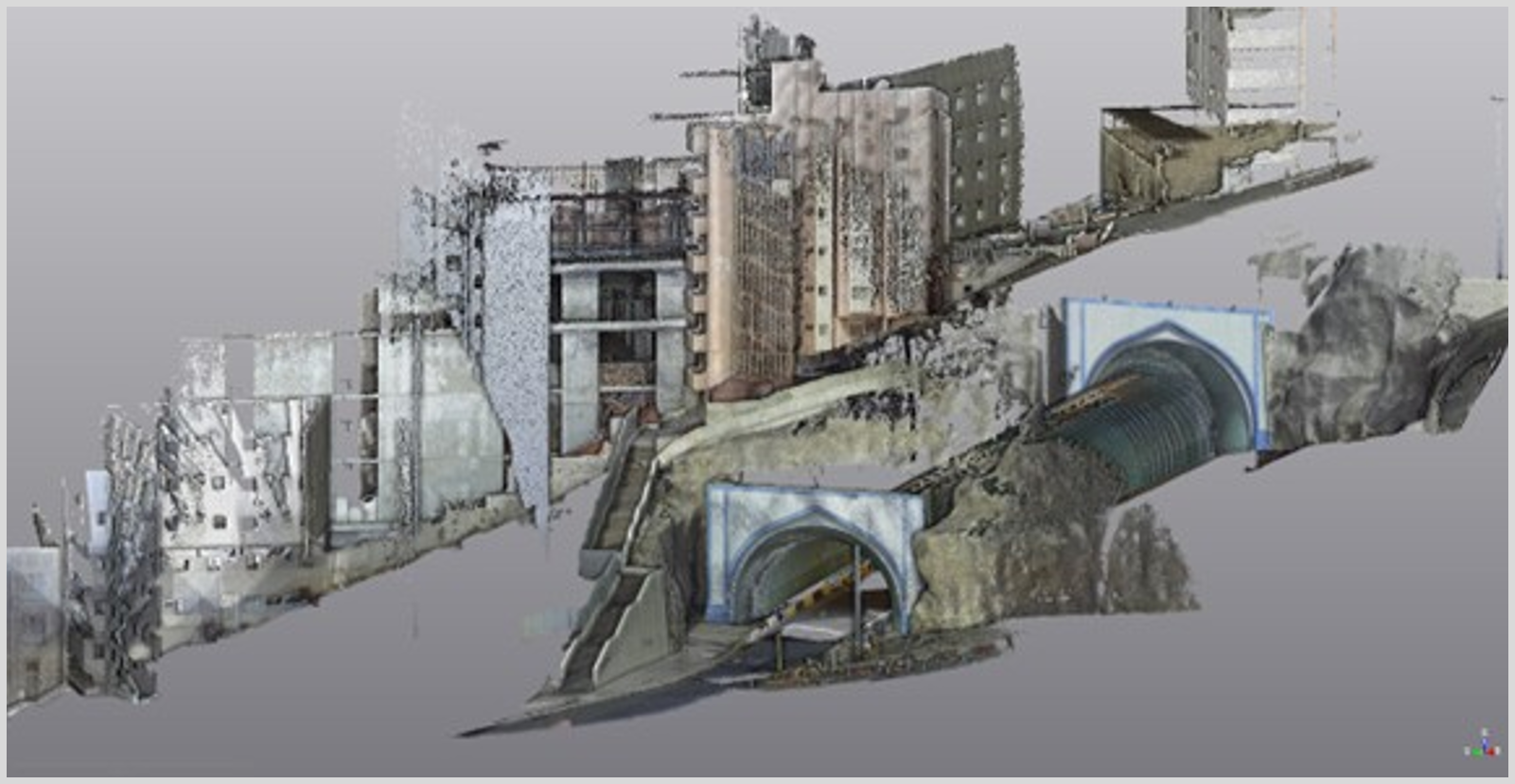
Makkah Tunnel Project

This project aims to assess the impact of the load from a building under construction on an existing tunnel by accurately determining the spatial relationship between the tunnel location and the building location. To achieve this, a precise 3D survey was conducted using a terrestrial laser scanner (TLS). After performing data processing, crosssections were generated along both the tunnel and building to clearly illustrate the spatial relationship between them.

Details
As-built drawings for building facades
2026
LiDAR Scanning

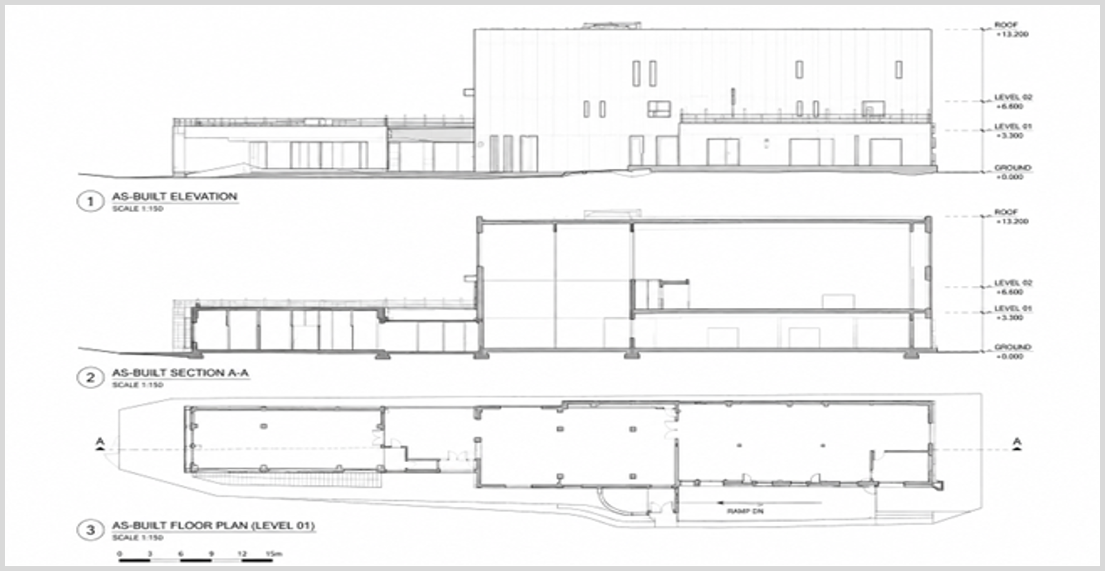
As-built drawings for building facades

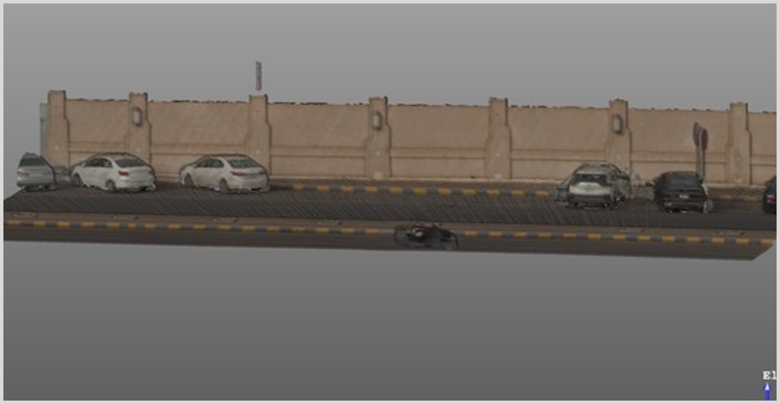
This project aimed to produce accurate as-built drawings for existing building facades using 3D scanning (TLS). High-density 3D point cloud data was captured from multiple scans positions and processed to create accurate 3D model of the site. Based on the processed point cloud, detailed facade elevations and isometric CAD drawings were generated. The final deliverables supported architectural documentation, engineering coordination, renovation planning, and verification of construction works with high spatial accuracy

Details
Riyadh Parking Project
2025/2026
GIS & Mapping

Riyadh Parking Project

Project involves conducting a detailed topographic survey using mobile mapping systems MMS, to obtain a complete 3D representation of the existing conditions of roads with total lengths more than 150 km, as well as capturing 360 full panoramic images along the entire route. The acquired data will be utilized for design of public parking areas and for generating comprehensive CAD files that include all existing site details.

Details
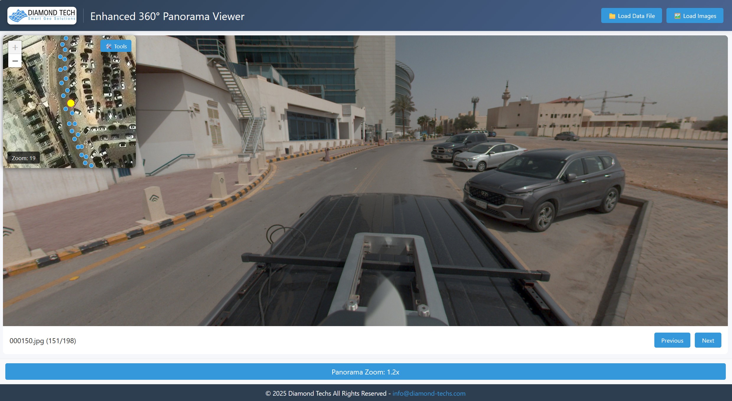
Design web 360 panorama viewer
2026
Other

Design web 360 panorama viewer

This project entails the design and development of a web-based application for displaying 360 panoramic images at their correct geographic coordinates, along with visualizing their locations on a Google Map interface. The system allow users to navigate seamlessly between panoramic images with ease and you able to rotate the panoramic image and see it in 360 direction, while clearly indicating the currently active image on the Google Map to enhanced spatial orientation and data interaction.

Details
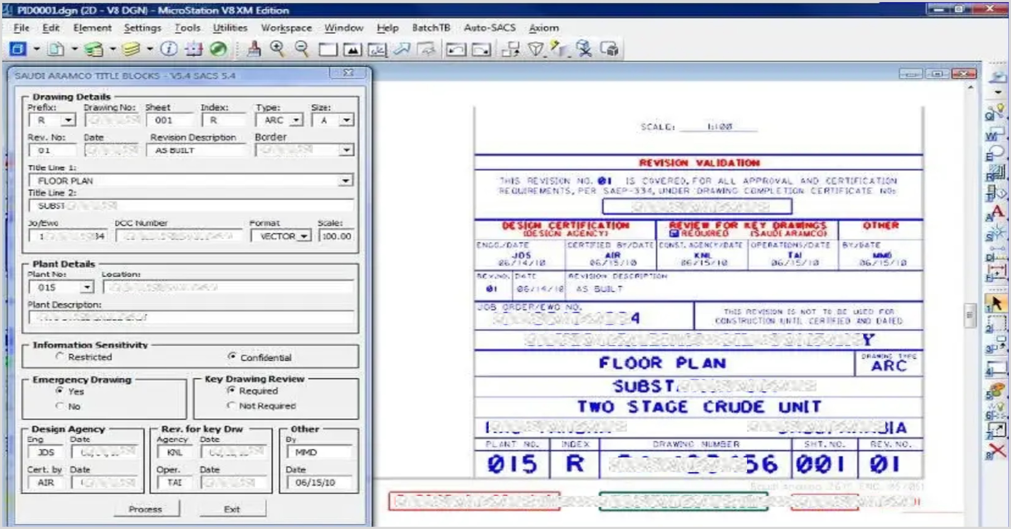
CAD files conversion as per Auto SACS Aramco CADD Standards
2025
GIS & Mapping

CAD files conversion as per Auto SACS Aramco CADD Standards

This project aimed to convert engineering and as-built drawing files from CAD format to DGN format in compliance with Auto SACS (Automated Saudi Aramco CADD Standards). The work included data verification, layer and attribute standardization, and quality control procedures to ensure full compatibility with Saudi Aramco requirements and successful acceptance within the ARAMCO iPlant system.

Details