04
Service 04
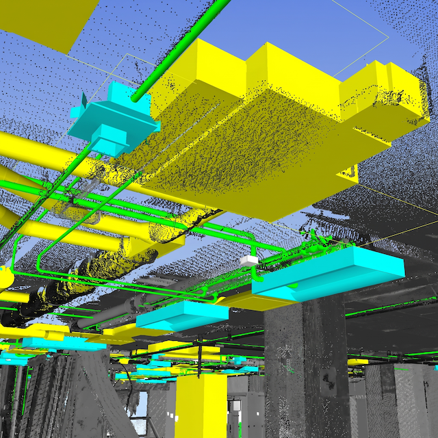
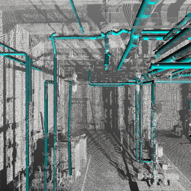
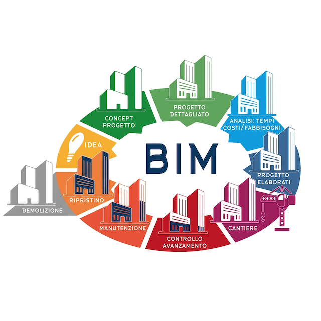
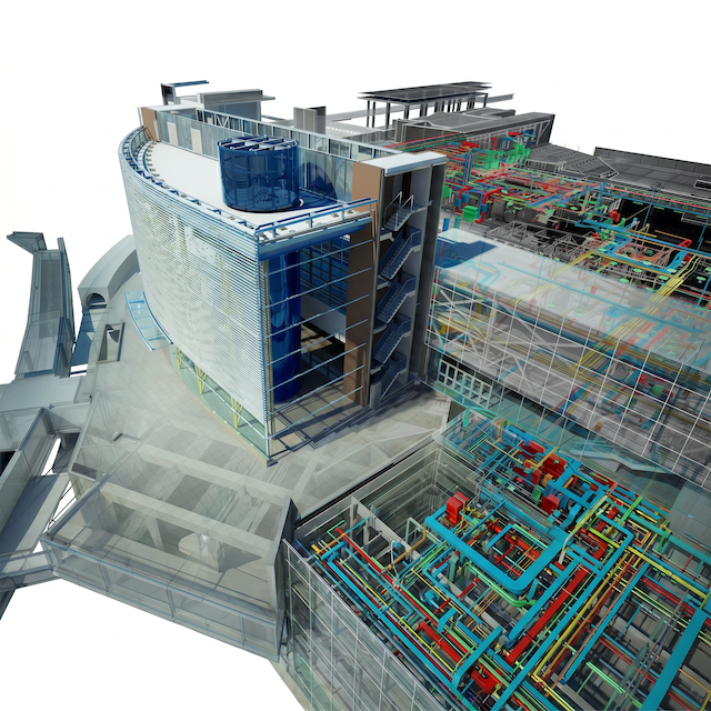
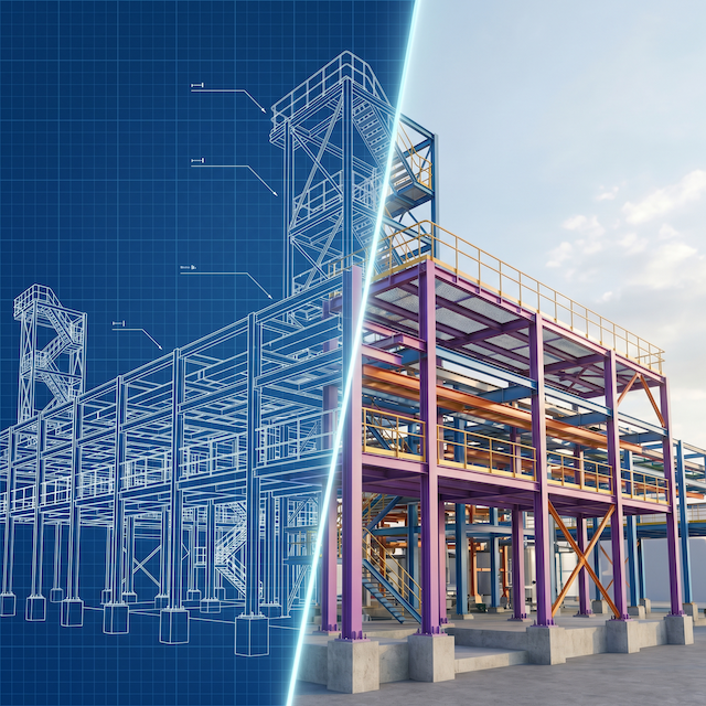
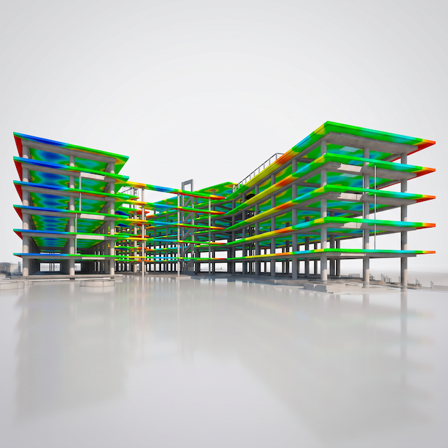
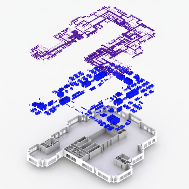
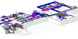
Our BIM services integrate spatial data into intelligent 3D models for planning, design, construction, and maintenance. We support full lifecycle project management and facility operations.
We integrate GIS + BIM for digital twins, enabling real-time urban management.
What are the benefits of BIM?
1- Reliable, accurate data reduces the risks associated with project execution.
2- Reduces the costs and downtime associated with construction rework, site revisits and field changes.
3- A single, shared knowledge source improves collaboration, communication and workflows.
4- Highly-detailed data improves decision-making and engineering designs.