02
Service 02
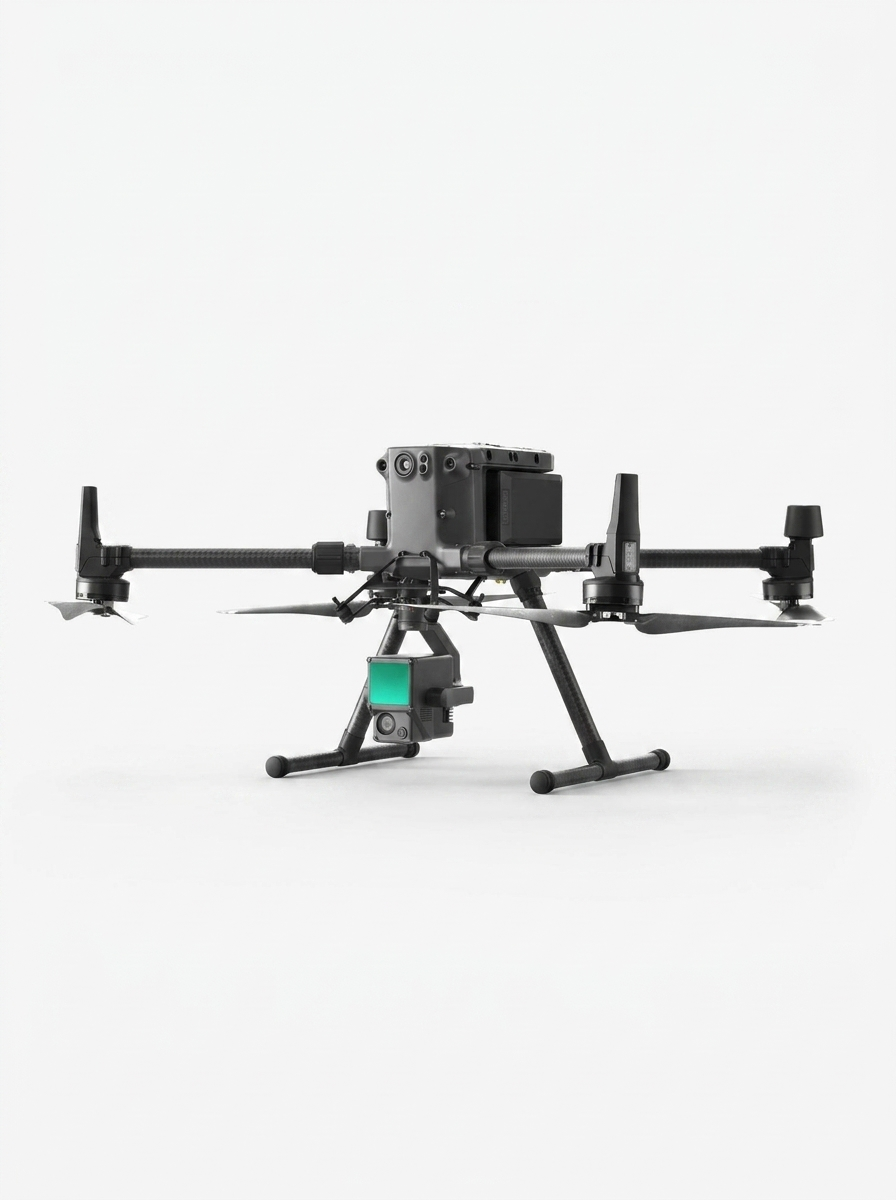
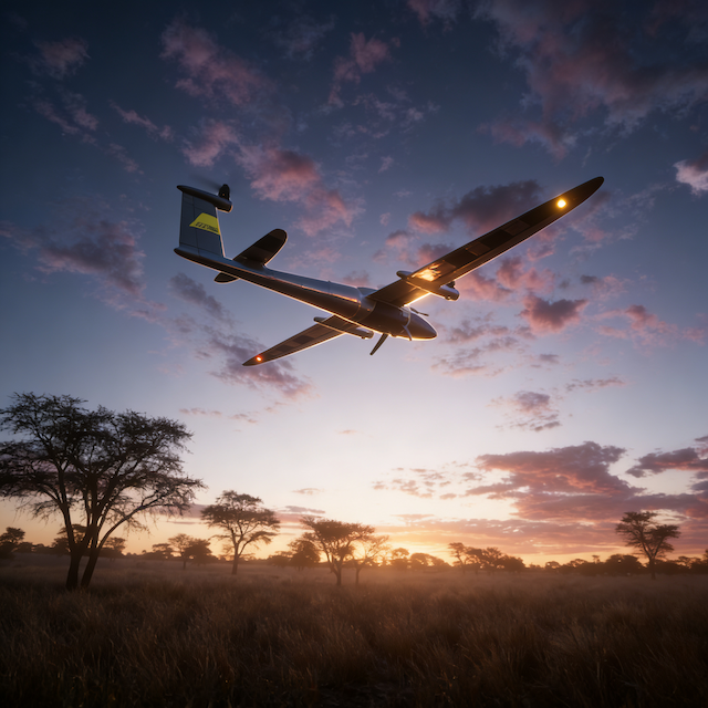
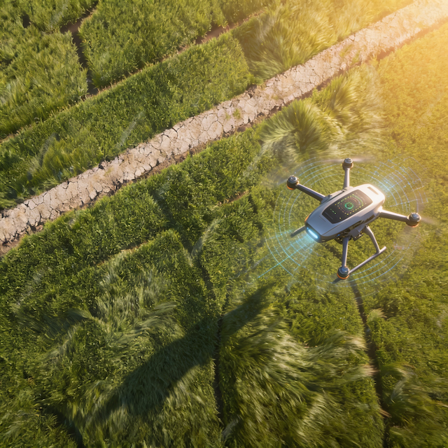
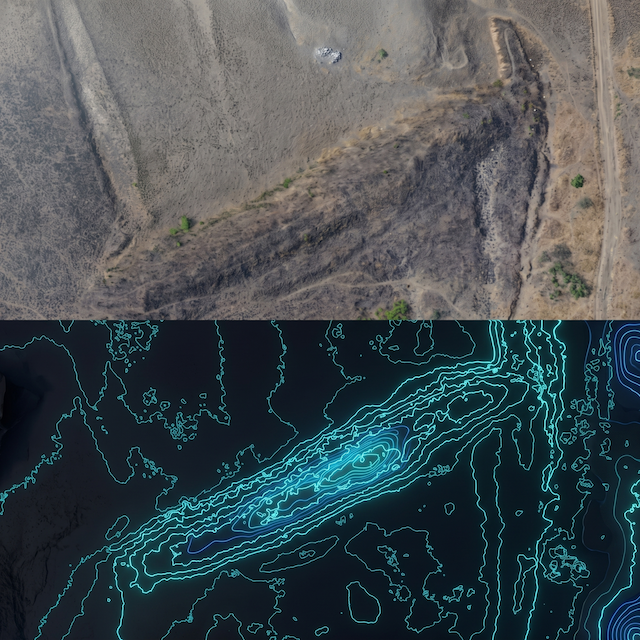
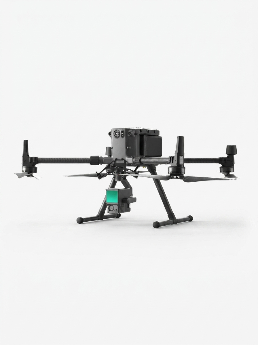
Our drone fleet captures high resolution aerial imagery and topographic data quickly and efficiently, especially in
hard to reach or expansive areas. It's ideal for land development, environmental analysis, and construction monitoring.
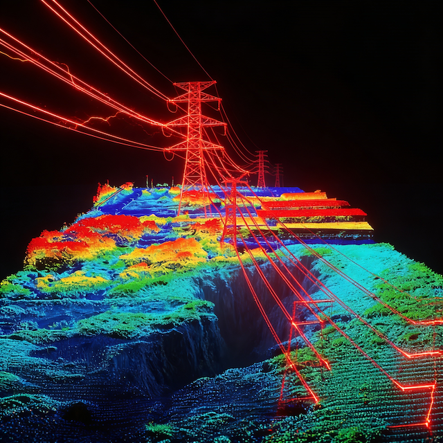
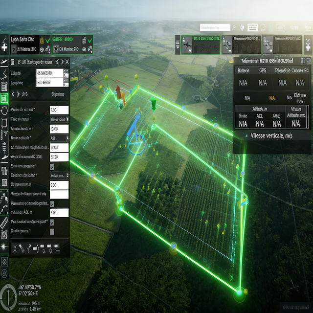
Diamond Tech uses RTK/PPK enabled drones to capture high precision aerial data for mapping, monitoring, and volumetric analysis.
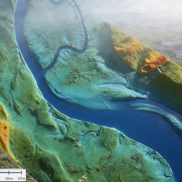
Surveying with a drone offers enormous potential to GIS professionals. it is possible to carry out topographic surveys of the same quality as the highly accurate measurements collected by traditional methods.