09
Service 09
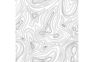
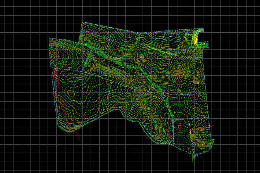
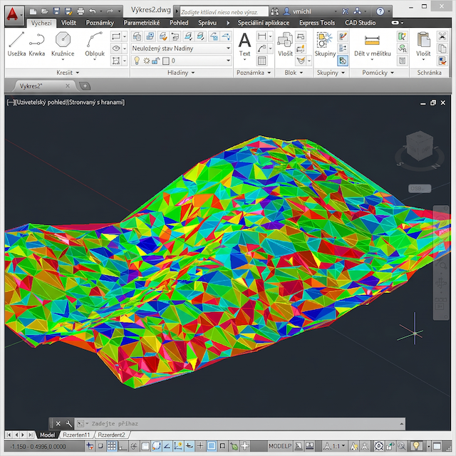
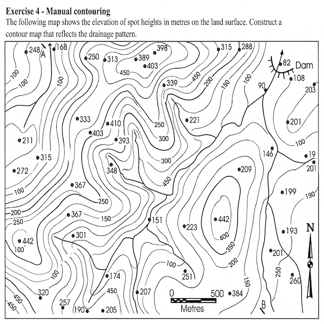
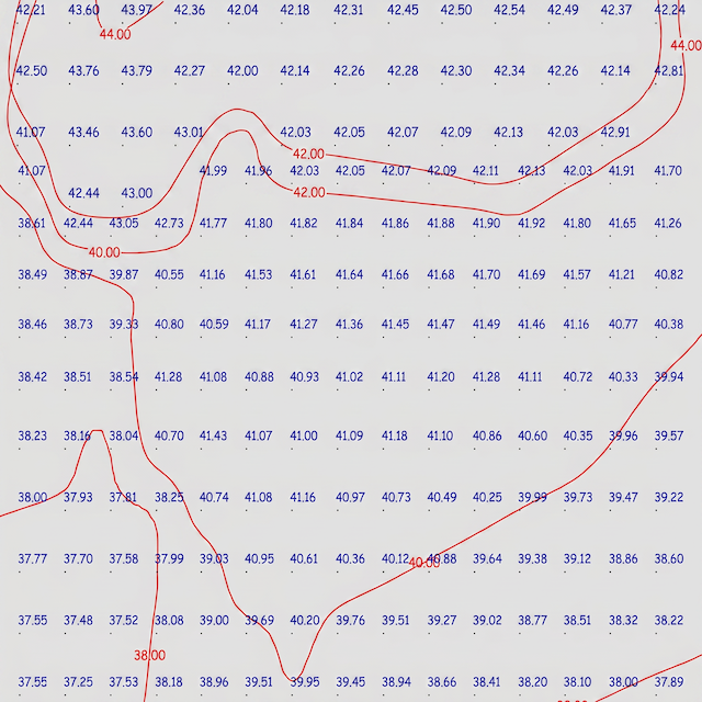
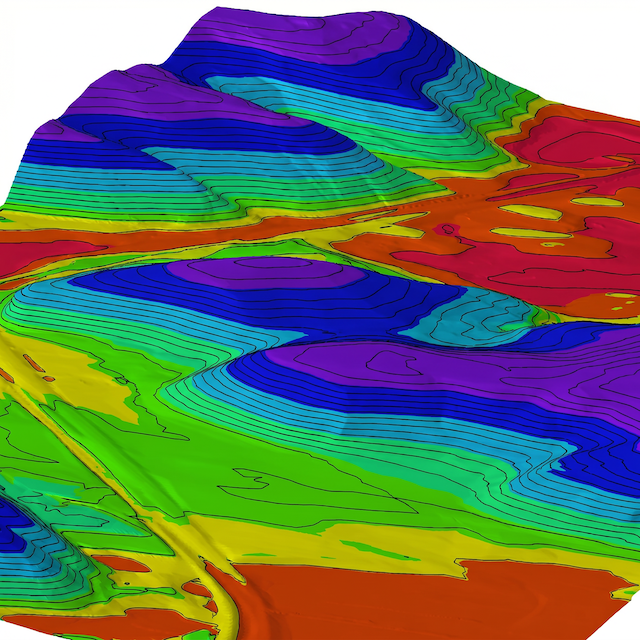
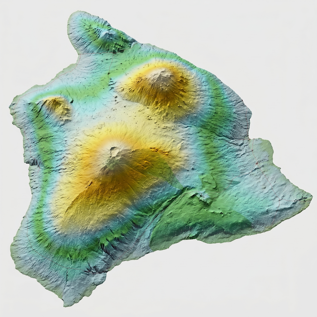
Delivers high-precision topographic and digital mapping services, providing clear, detailed, and reliable representations of both natural and man-made features. Our advanced geospatial solutions support design, construction, planning, and land development projects with unmatched accuracy.
Key Benefits of Our Topographic & Digital Mapping Services:
✔ Comprehensive Feature Capture – Detailed terrain, vegetation, buildings, utilities, roads, and drainage.
✔ High-Resolution Data – Collected via drones (UAVs), LiDAR, GNSS, and 3D laser scanning for superior accuracy.
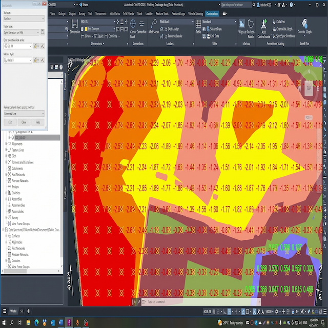
✔ Customizable Outputs – Delivered in CAD, BIM, GIS, and point cloud formats for seamless integration into your workflow.
✔ Support for Large-Scale Projects – Ideal for urban planning, infrastructure development, engineering design, and environmental assessments.
✔ Regulatory Compliance – Meets Saudi and international surveying standards for reliable decision-making.
Whether for master planning, site analysis, or construction monitoring, our maps ensure informed decision-making and project efficiency.